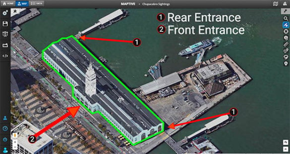
Maps are handy tools for visualizing data. But sometimes, you need to add custom graphics and effects to relay information properly. This is where map drawing software can help you take your maps to the next level.
These tools allow you to enhance your maps by highlighting certain locations, adding arrows, inserting text, adding custom images, and more. But with so many different options available, which one is right for your project?
Please keep reading to discover our list of the ten best map drawing software. Learn what each tool has to offer so you can choose the one that meets your needs.
Table of Contents
Built using Google Maps API, Maptive offers all the benefits of the world’s leading mapping software, along with a wide array of additional options. Upload your dataset to get started.
With Maptive, you can:
Maptive also offers a variety of other mapping tools. This includes heat maps, a route optimizer, drivetime polygons, territory mapping, and demographic data. There are many different base maps to choose from as well, including street maps and satellite maps.
Because Maptive is cloud-based, you can access your maps anywhere on any device or operating system, including Mac, PC, Linux, iOS, and Android. All you need is an internet connection. Once your map is complete, share it with team members by sending a link or embedding it on a website.
Click here to try Maptive now.
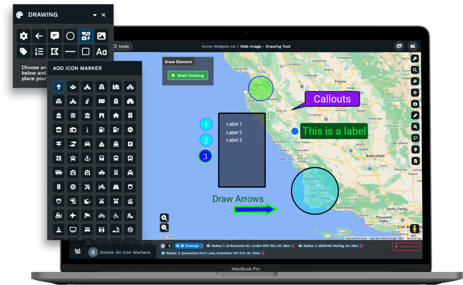
This is another free tool that’s surprisingly effective. Scribble Maps has become a popular choice for students, business professionals, and even the military, thanks to its variety of useful features.
Use Scribble Maps to place text onto maps, draw polygons and other shapes, add image overlays, highlight specific locations, and custom styling.
Just be aware that if you plan to use the free version, you won’t have access to many of the more advanced tools and security features. In fact, if you use the free version, you should know that anyone can access your maps. The free version also includes ads, which can be bothersome.
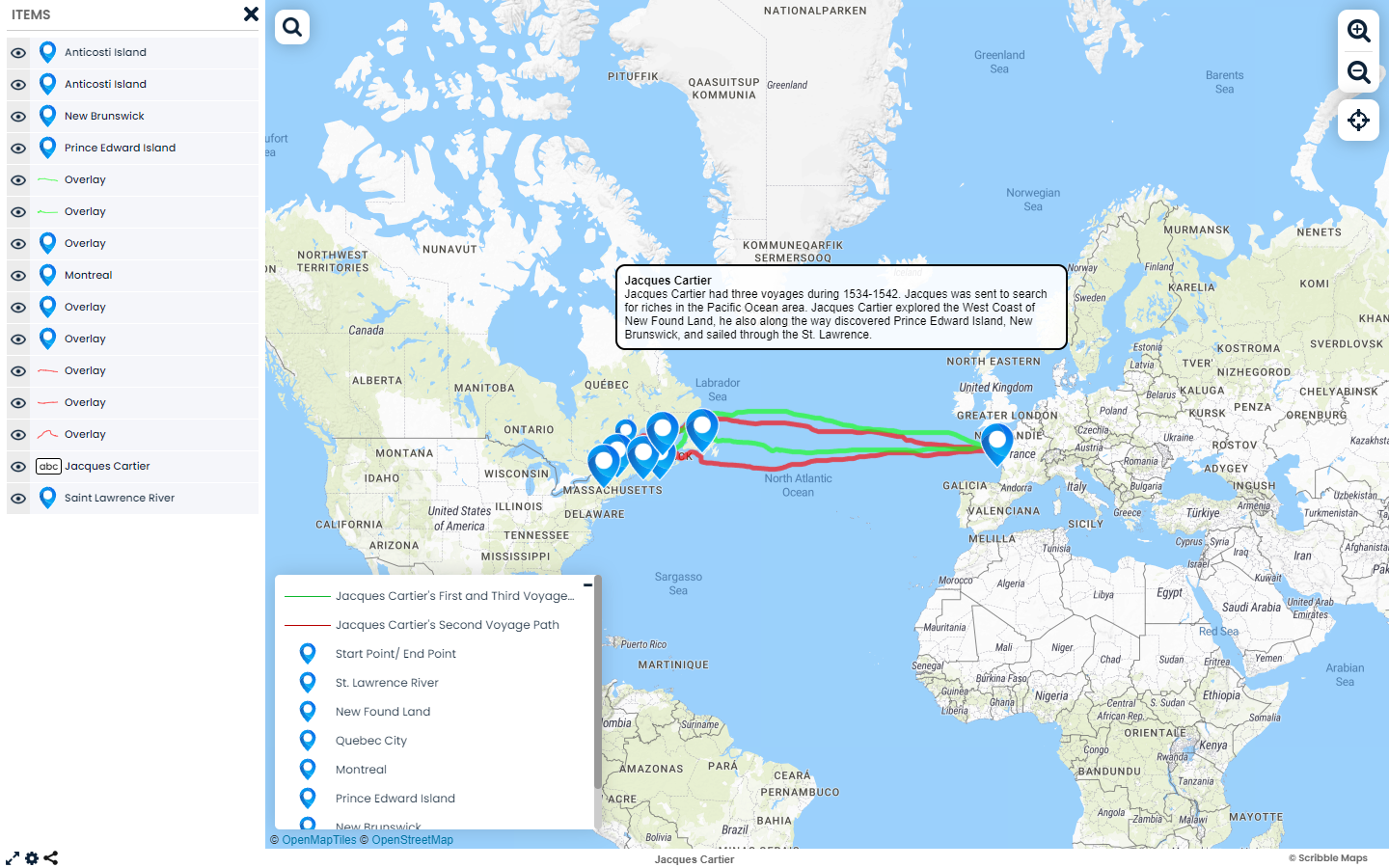
Map Chart is a free map drawing tool that’s perfect for those on a budget. Maptchart’s specialty is in providing regional and country maps that are ideal for school projects, fantasy maps, war game maps, and other historical data mapping projects. Its easy-to-use interface means even those without a lot of mapping software experience will have no problem creating custom maps.
The web-based software lets you create maps of any country or region around the world. Using their tools, you can color code countries and states, add patterns such as dots, stripes, or lines, create a map legend, and hide certain countries and states. Then, save your map to work on it later, or download it to a PNG file to share.
While Map Chart is great for simple projects, it lacks many more advanced drawing tools that other software tools offer. So if your business is looking for a more sophisticated data visualization tool, you might need to look elsewhere.
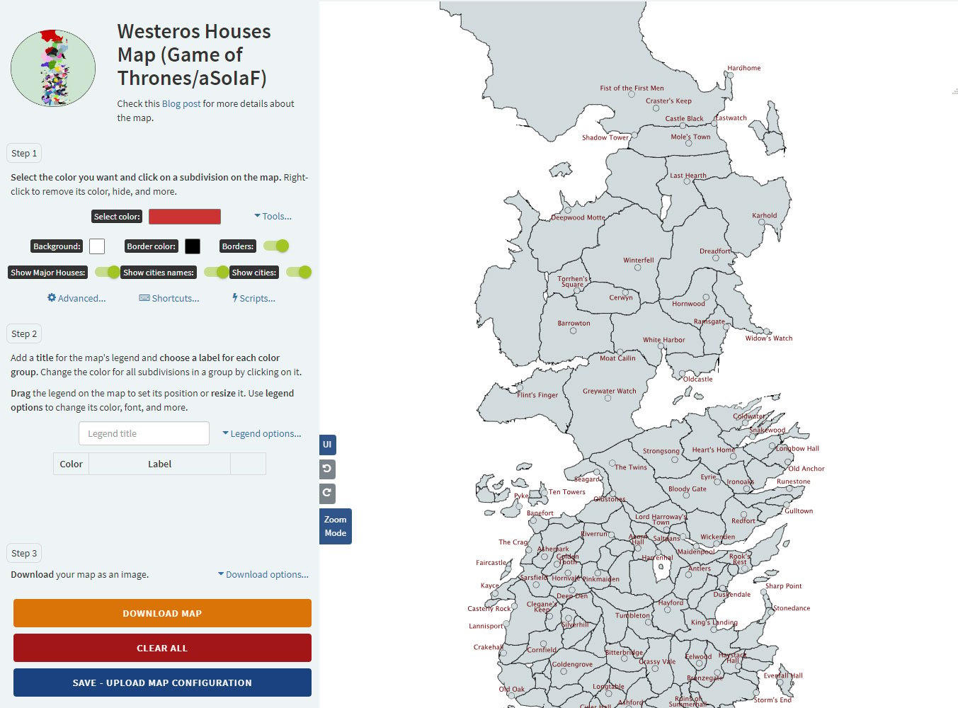
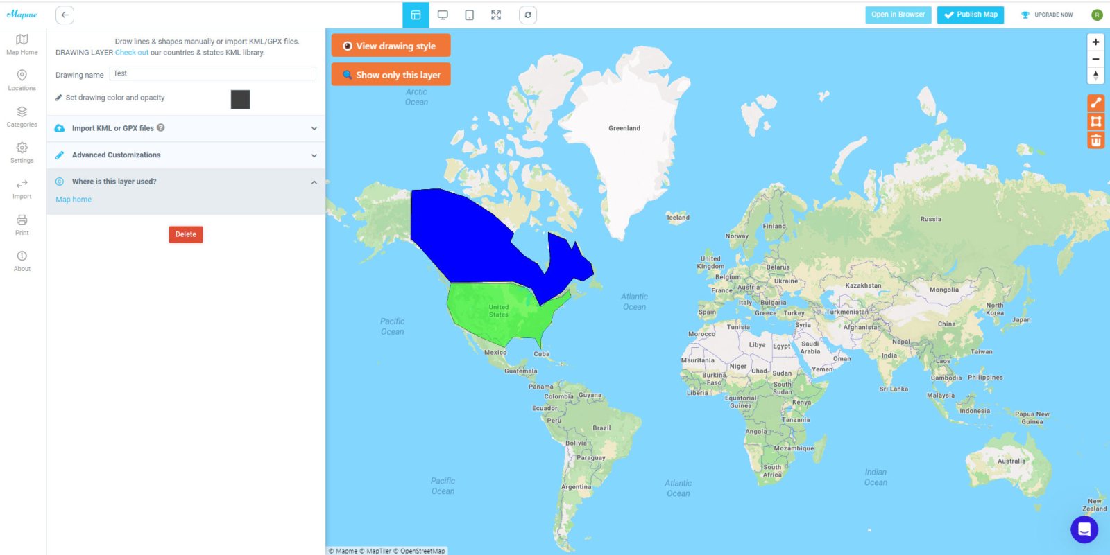
Mapme is an effective mapping tool for many different industries such as real estate, construction, event & non-profit use. While it uses fairly advanced technology, you don’t need to have a lot of knowledge of GIS software to enjoy all the benefits.
With Mapme, you can draw lines and shapes directly on your map, import JPX or KLM files, upload photos, videos, and PDF files, and add labels to various locations. However, aside from the line and area tool, there are not a lot of drawing functionalities in this tool.
The user interface isn’t as easy to use as other entries on this list. There have also been complaints about map locations not being exactly where they should be. Just be aware of these issues before signing up for a subscription.
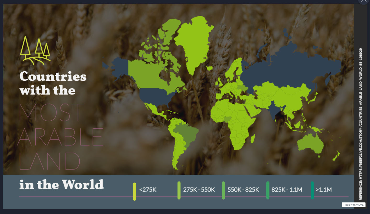
Visme is a quality online map tool for creating presentations, infographics, reports, and more. Getting started is quick and easy, and they offer several attractive templates for you to build from.
When it comes to mapping, they have a few different features. For example, you can color-code different countries and states, add icons and images from Visme’s library, and include your brand fonts and colors.
Unfortunately, they lack many drawing tools that other software offers, such as arrows, polygons, and freehand drawing. If you need these tools for your project, this likely isn’t the right solution for you.
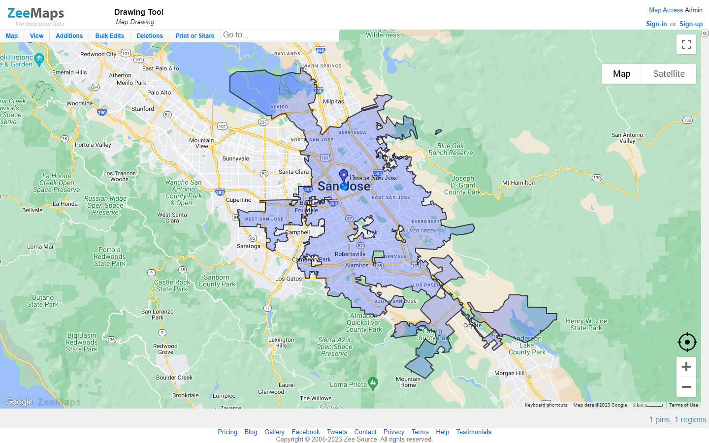
Created specifically for businesses, ZeeMaps is ideal for data analysis and presentations. In addition, you don’t need an account to start using this software, which makes it easy for anyone to start mapping right away.
Their drawing and customization options offer color-coding, marker customization, and the ability to add photos and videos.
However, more advanced drawing tools aren’t available. While ZeeMaps is an effective and affordable tool, it’s one of the most limited to actually drawing on your map.
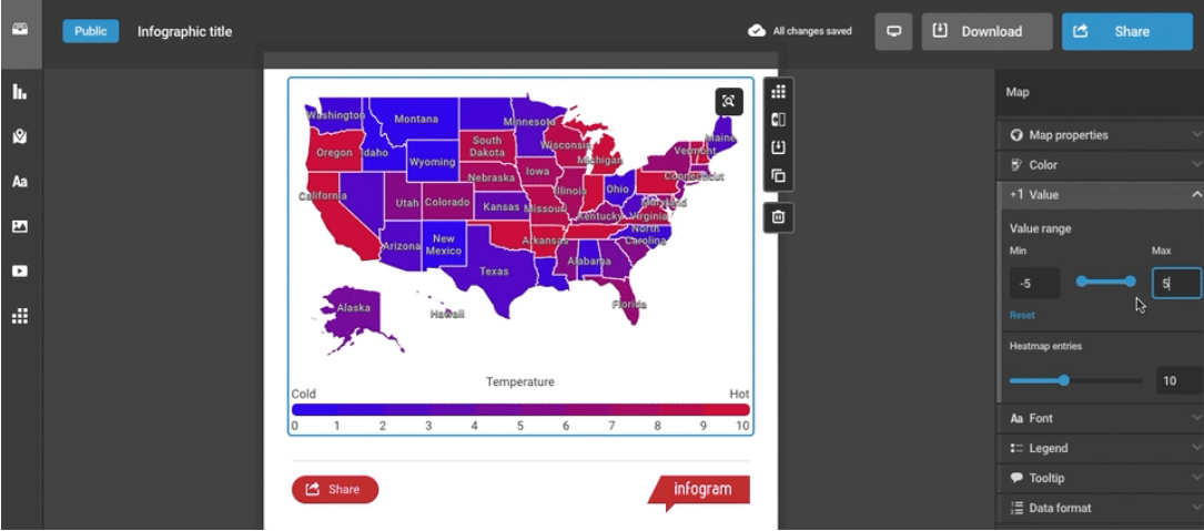
Infogram is a popular tool for creating map-based infographics for marketing, social media, and educational purposes. While their maps aren’t as interactive as some of the other options on this list, they’re perfect for creating a quick snapshot of your location-based data.
Use Infogram to color-code different areas of your map, add graphics and icons, and insert text and labels.
While Infogram gives you the ability to create some beautiful maps, they don’t offer you the ability to draw shapes and text using your mouse.
Map Tiler is a leader in the mapping software space, used by large brands and organizations like Seimens, Redbull, and the NOAA.
Start with a wide selection of satellite maps, then use Map Tiler’s tools to customize them and create your ideal map. You can adjust colors, add text, and change fonts.
While Map Tiler gives you the ability to customize your maps further, it requires knowledge of Javascript and coding. So, if you need more drawing capabilities than what’s listed above, you’ll likely want to choose different software.
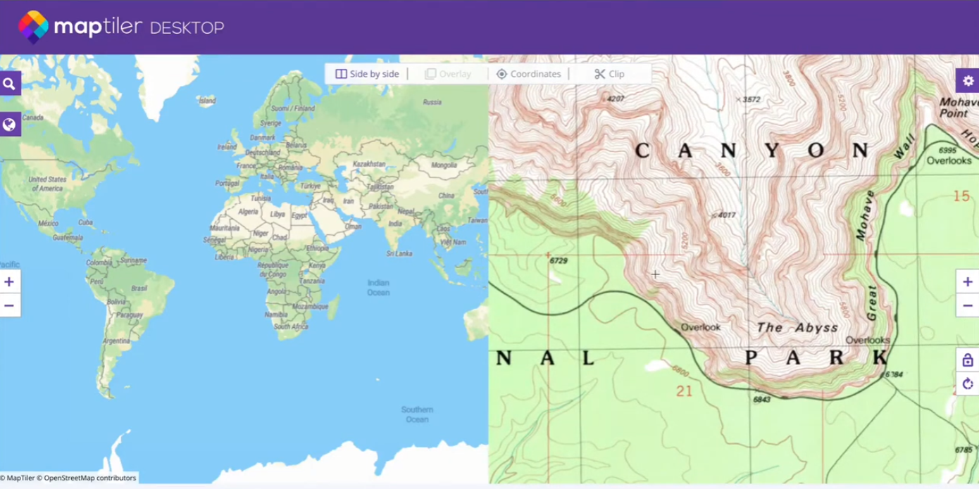
If you’re looking for a straightforward map-drawing tool, MapGIS is it. This web-based software is free to use, meaning you can go to their website and start drawing right away.
With MapGIS, you can:
Place markers
Draw lines
Draw shapes (rectangles, circles, polygons)
Place labels anywhere on your map
If you’re looking to draw on a map, this might be the right tool for you. However, if you want to create a more advanced custom map, this likely isn’t the best option. Features like color-coding, images, icons, and arrows aren’t available.
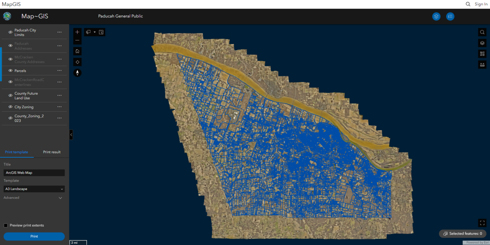
This is one of the best map makers for those looking to get started with building maps. It’s easy to use and has a core set of features that aren’t overwhelming to new users.
With OnePlace, you can choose your satellite image and customize it by overlaying shapes, drawings, and measurements. It’s cloud-based as well, allowing you to use it on any mobile device.
While this is great for simple projects, it doesn’t offer some more sophisticated features that many businesses are looking for. For example, there aren’t different base maps to choose from, and you can’t color-code countries and states.
When it comes to creating custom interactive maps, more and more businesses are choosing Maptive. With a wide range of drawing features, and advanced tools like heat maps, territory mapping, and route planning, you have everything you need to build your ideal map.
Sign up for your free trial and start mapping today.
Brad Crisp is the CEO at Maptive.com, based in Denver, CO and born in San Francisco, CA. He has extensive experience in Business Mapping, GIS, Data Visualization, Mapping Data Analytics and all forms of software development. His career includes Software Development and Venture Capital dating back to 1998 at businesses like Maptive, GlobalMojo (now Giving Assistant), KPG Ventures, Loopnet, NextCard, and Banking.
