What’s the secret to higher producing—and more productive—sales teams? Data.
Sales today move faster than ever. New leads appear constantly, markets shift in real-time, and sales teams must navigate growing competition and complex territories—all while chasing ambitious quotas.
Sales is no longer just a vital part of your business—it’s the most dynamic. And without clear, data-driven direction, your team risks getting lost in the noise.
The right data does more than just inform your sales strategy, it has the potential to completely transform it by helping you identify high-potential areas, balance workloads, reduce overlap, and uncover hidden opportunities. Without it your territories become vulnerable and unbalanced, opening the door for competitors to take the lead.
That’s why more companies are turning to sales territory mapping software. It helps teams visualize their territories, unlock insights, and make smarter, faster decisions. And the results speak for themselves:
The bottom line is that well-designed territories backed by accurate data can give your sales team the tools to perform better and beat the competition–and sales territory mapping software is the tool that can help you achieve that.
Table of Contents
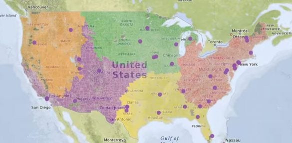
Sales territory mapping software helps organizations turn raw data into actionable sales strategies by combining geographic visualization with performance insights. Instead of juggling clunky spreadsheets or getting lost in CRM dashboards, your team can use interactive maps to see exactly where their customers, leads, and opportunities are — and how best to approach them.
Top-performing sales teams rely on these tools to make smarter, faster, and more profitable decisions. Whether you’re trying to balance territories, optimize rep assignments, or discover untapped markets, territory mapping software turns complexity into clarity.
And it’s not just for data scientists or operations managers — it’s built for everyday users. From field reps to regional VPs, everyone benefits from the simplicity of visual sales planning.
While most sales mapping tools offer similar core features–territory drawing, data visualization, and route optimization–the best platforms go further. They empower your team with performance-enhancing insights that help you close more deals, serve customers faster, and stay ahead of the competition.
With modern sales mapping software, your team can:
For sales managers, this means having a clear view of what’s working, where to shift resources, and how to coach reps more effectively. For reps, it means spending less time guessing and more time selling — with access to the right data at the right time.
At scale, smarter territory management leads to stronger pipelines, higher close rates, and increased profitability — all without growing headcount.
Not all sales territory mapping software is created equal.
Even though plenty of solutions offer to meet your basic needs — your sales data visualized on maps — many lack some or all of the features that mark the difference between a nice-to-have tool and a must-have asset. Must-have assets are what supercharge your sales team for maximum effectiveness.
The best sales mapping software understands its key purpose: to make it easy for you to generate as much revenue as possible, as easily as possible, in every single one of your territories. It’s more than just territory management. Rather, you need a tool that empowers your teams to work more efficiently while also maximizing sales productivity.
When deciding on your sales mapping software, look out for these features:
However, you also need the ability to draw custom boundaries based on your established territories and account for any on-the-fly pivots you need to make.
The best software mapping software also allows you to include Census-based demographic data, such as age, education, income, transportation, labor, gender, and more. This will help your sales team understand their customers better and improve your ad targeting’s efficacy.
Route planning tools will help your team save a lot of time by calculating the shortest possible routes, project travel time, and distance between locations, and create and save your sales routes. Together, these benefits help your team increase sales productivity. Look for a route optimization tool that will also allow you to easily change your route order, plot multiple routes to account for different scenarios, and plot an unlimited number of stops.
Exploring your options? These solutions are widely considered to be the best sales mapping software on the market today. Learn more about each solution, and whether they’re the right fit for your business, below.
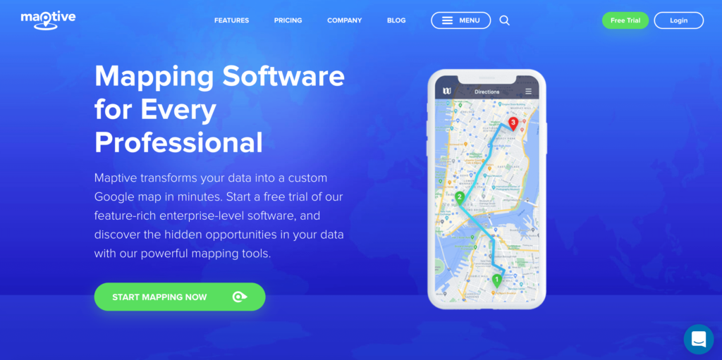
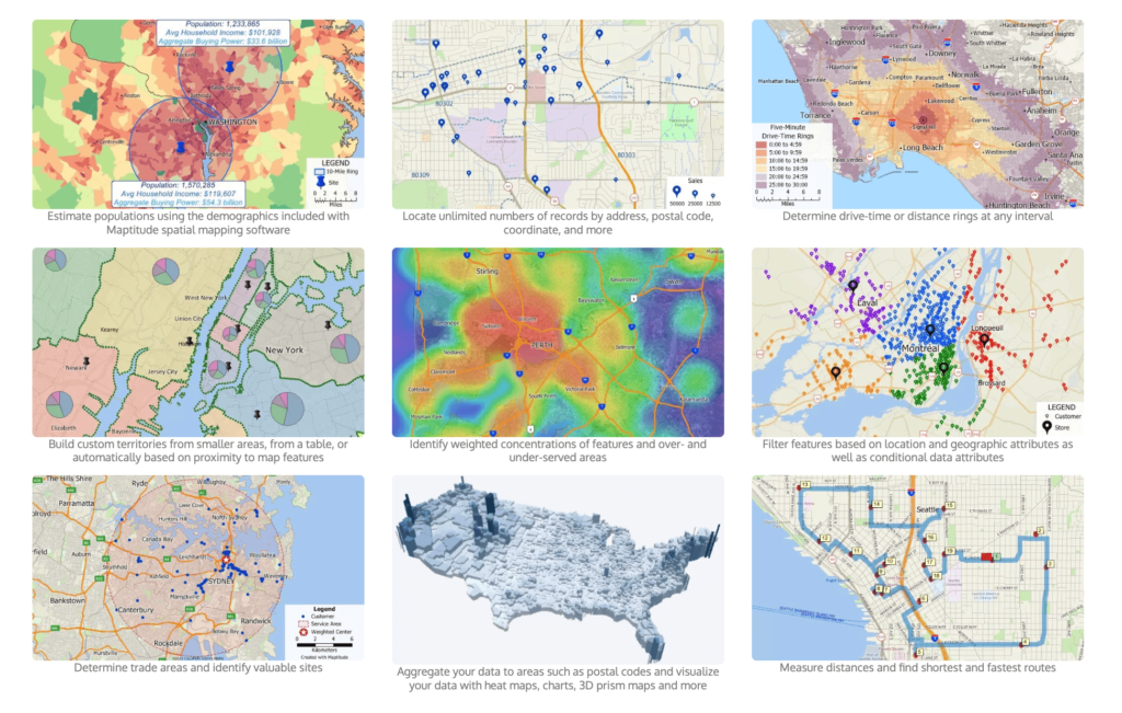
Sales teams value Maptive for its rich feature set, including its built-in route optimization, ability to add and share customer insights and leads, and its robust filtration tool—particularly the “average sale” filter, which enables sales teams to target high-value leads.
Maptive allows you to create efficient sales routes, with unlimited stops, almost instantly. Simply and securely upload your location-based data on their 256-bit SSL-encrypted software and receive a fully customizable and easy-to-navigate map.
With a full feature set focused on intuitive route and territory design optimization, deep customization, and complete territory insights—including heat maps and demographics, Maptive is the best overall sales mapping software.
Key functionalities include:
Interested in trying Maptive? Maptive offers a free, no-risk, 10-day trial—no credit card required, so you can start mapping now.
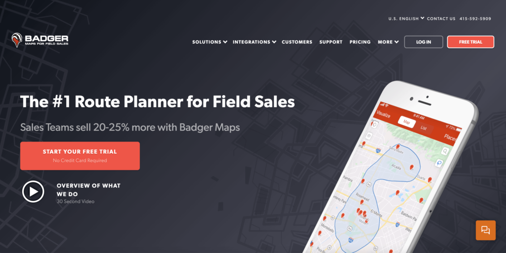
Badger Maps is one of the popular sales mapping software options, and for a good reason: their mobile-first approach. Designed for sales reps on the go, Badger Maps gives reps a full-featured app, including a live territory map with up-to-the-moment traffic updates, simplified admin tasks, and an automated check-in feature to keep managers in the know.
Designed with field sales representatives in mind, Badger Maps offers:
CRM Integration: Seamless syncing with popular CRM systems for real-time data access.
While Badger Maps does a very good job at route optimization, its features are unbalanced, with some users reporting that it’s overly complicated to adopt, and others left wanting more. While it’s great for sales reps in the field, it ignores several key features: including comprehensive data-driven sales insights, big-picture outlook, customization, and much more.
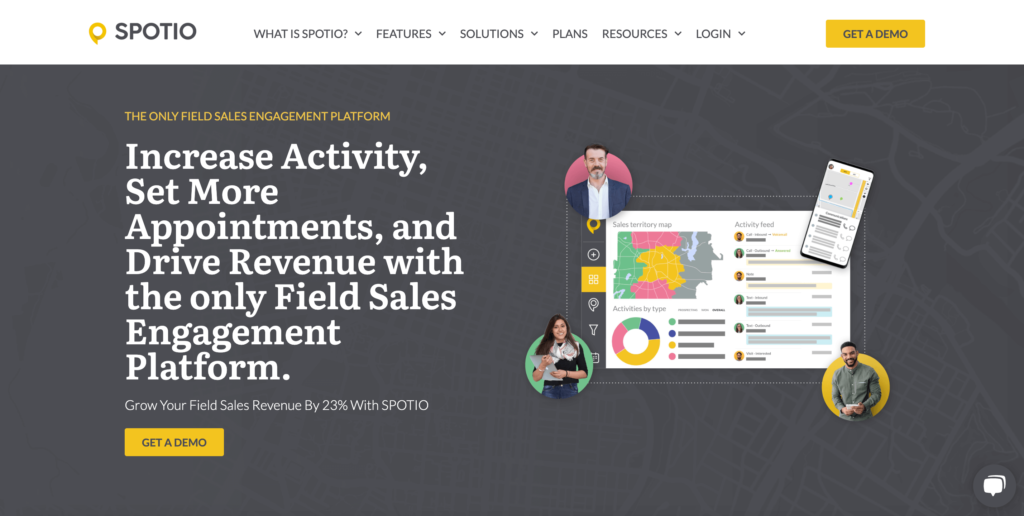
SPOTIO is a micromanager’s dream: it automatically tracks each sale’s reps’ stops (including date, time, and GPS coordinates), lets managers schedule their rep’s day with a built-in calendar, and updates maps when a rep closes a deal. If you want your sales managers to track their rep’s every move, then SPOTIO is the right solution for you.
SPOTIO is designed for field sales teams, offering:
SPOTIO’s micro-view is also its biggest drawback. For one, its precise and persistent tracking favors sales managers with a turn-and-burn philosophy versus a team-first, growth, and retention approach. And users report Spotio’s difficulty in managing macro-level data, with maps becoming less detailed (and, therefore, less valuable) the more you pan out.
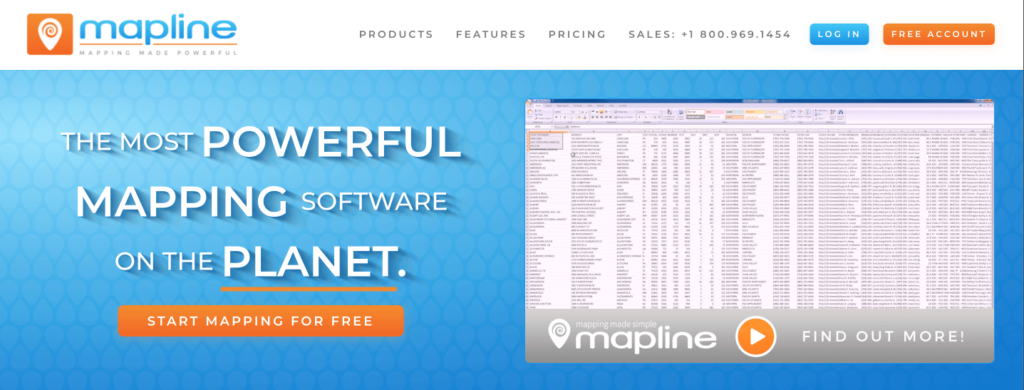
Looking for a no-frills sales mapping software? Mapline is a simple, basic entry point for organizations that want to try mapping software without any advanced features. And since it’s one-size-fits-all by design, you can use it for non-sales applications. Mapline is built to work with Microsoft Excel, so it’s an easy in-way for organizations using the Microsoft Office Suite.
Mapline offers:
If you want to extract key insights, however, you have to export the data yourself and ad hoc a solution of your own. Its design sacrifices functionality for adoption: making it easy for you to implement but difficult for you to get the basic results other sales mapping software provide.
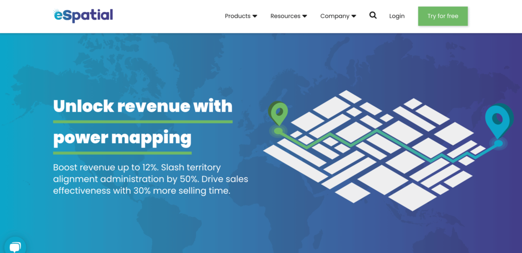
eSpatial offers many of the exact things you want in your sales mapping software: deep customization, rich data sets (including Census demographic data), territory optimization, and Google Maps integration.
In many ways, eSpatial is comparable in features to Maptive, providing a cloud-based platform with:
Where the two solutions differ is this: while Maptive integrates with virtually every spreadsheet and CRM Software, eSpatial only integrates with Salesforce. So, not only is it expensive on its own—$1,495 per year for a single user, and $4,995 for teams (with up to ten users), even considering the required Salesforce-eSpatial stack comes with a hefty cost.
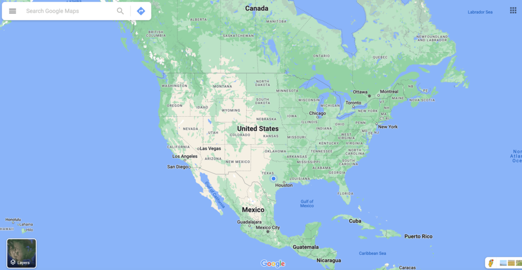
Google Maps is great. With its ease of use, free access, Street View, and robust API, Google Maps handily earns the award of “lowest-barrier-of-entry route planner.” No wonder sales mapping software solutions like Maptive and eSpatial build their services on Google Maps.
Google Maps provides basic but effective mapping capabilities, offering:
But keep this in mind: without the features included in a more comprehensive service, Google Maps is best for simple routes, bootstrapping companies, and teams that aren’t yet at the stage where customization will give them a competitive edge. For example, Google Maps only allows you to route ten stops (25 if you use a workaround) and doesn’t offer much in the way of route optimization on its own.
If you’ve tried Google Maps and found yourself wanting more, consider Maptive. Maptive offers all of the advanced options that Google Maps lacks but with a similarly user-friendly experience.
Like eSpatial, Geopointe is a designed-for-Salesforce application for sales data mapping. Available in Salesforce AppExchange, Geopointe location enables the Salesforce CRM, allowing you to analyze, manipulate, and visualize your customer accounts.
Geopointe integrates with Salesforce to provide:
Already using Salesforce? Then Geopointe may work well for you as it’s less cost-prohibitive and more flexible than eSpatial. Prices start as low as $55 per user, and any features you want, outside of visualizing basic sales data, are available as add-on upsells. While Geopointe is not the right choice for most sales teams, it’s perfect for organizations that use Salesforce, are price-conscious, and prefer to pick their features as opposed to getting everything out of the box.
Like many of the options on this list, Maptitude allows your business to visualize geographic data in new ways. You can use Maptitude to discover geographic patterns that have been hiding inside your data, and you can also use Maptitude to organize this data in an easy-to-read and understandable way.
When you choose Maptitude for territory management, you’re able to see clearly where your customers are located, which sales territories are achieving the most success, any sales territory that is not maximizing its full potential, etc.
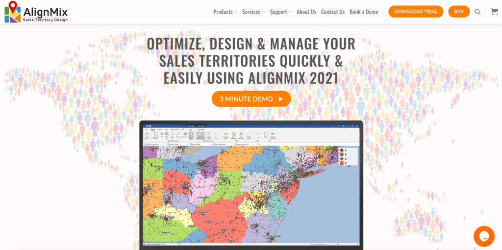
Among sales mapping software tools, AlignMix is one of the easiest to use. Its simple, attractive user interface makes onboarding and mastery a breeze, and it’s also easy to import and export information related to sales territory mapping across three hierarchical levels: normal sales territories, sales districts, and sales regions.
AlignMix specializes in:
AlignMix does not offer the advanced and robust feature sets that you get with other territory mapping software options. But, if you’re just getting started and you want to make an impact for each individual sales rep, AlignMix is a quality entry-level option.

Xactly AlignStar is a sales territory mapping tool designed for sales operations and sales leadership. On the operations side, the product helps you optimize sales territory inefficiencies. It also helps you communicate changes to sales territories in a way that demonstrates fairness, accuracy, and how the sales territories best reinforce corporate objectives.
Xactly AlignStar offers:
Sales leaders use Xactly AlignStar to gain needed visibility into the performance of their sales teams. When you use this sales mapping tool to align performance with targets, you’re better able to create future targets that are equal parts ambitious and attainable. The best sales leader integrates sales data into future projections, and that’s what Xactly AlignStar helps you do as a sales mapping solution.
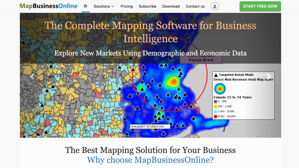
You get a basic name but serious sales impact when you choose MapBusinessOnline as a territory management solution. This mapping software emphasizes affordability and ease of use. While it may not provide a deep feature set like some of the other sales mapping tools on this list, it can still be quite helpful with:
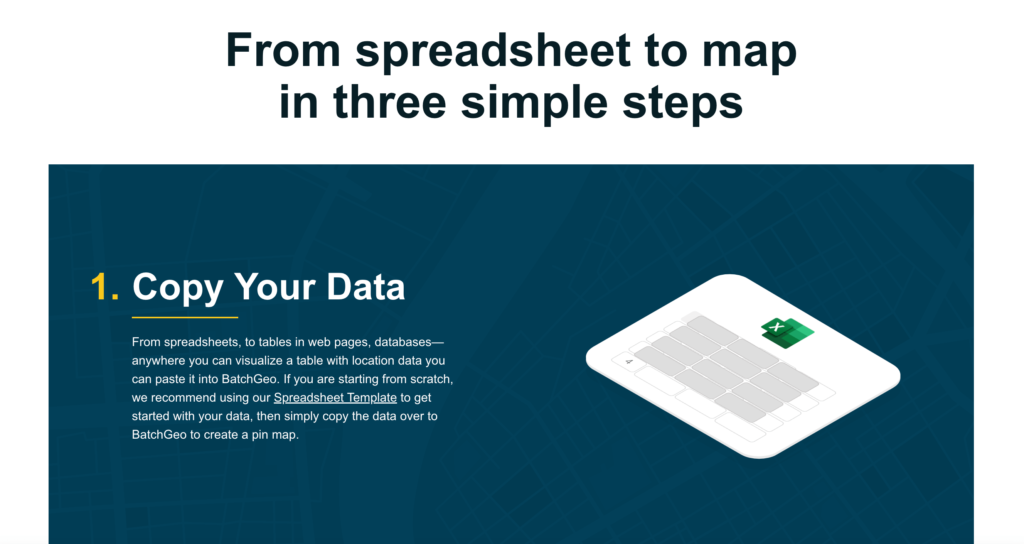
BatchGeo is a sales mapping tool that specializes in quickly converting spreadsheet data into geographic visualizations. It can be used for sales mapping and sales rep productivity, as well as for real estate work and retail store location analysis.
BatchGeo focuses on speed and simplicity, offering:
This is not free sales mapping software. But it is a product trusted by leading companies that rely on effective sales teams to drive year-over-year revenue increases.
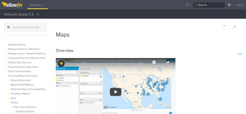
For enterprises that have a lot of money to invest in territory mapping, Yellowfin is an attractive option. This platform helps you increase sales productivity through data storytelling and collaboration tools, data visualization, and automation that allow you to find relevant and insightful data quickly.
As a business intelligence and analytics platform, Yellowfin BI offers:
Yellowfin is more for sales-related data analytics and less for sales team management. But, for some companies, that might be exactly what they need to sell to new prospects and retain existing customers.
Use GeoMetrx for sales territory mapping and for a range of other activities, including access to shopper data and choosing ideal store locations. Territory mapping isn’t necessarily the primary purpose of GeoMetrx, but it is one of many things you can achieve using this tool.
Perhaps the best part of using GeoMetrx is how quickly you can create and iterate on a map design. Simply upload your data, and you can create attractive, easy-to-read territory maps in just minutes.
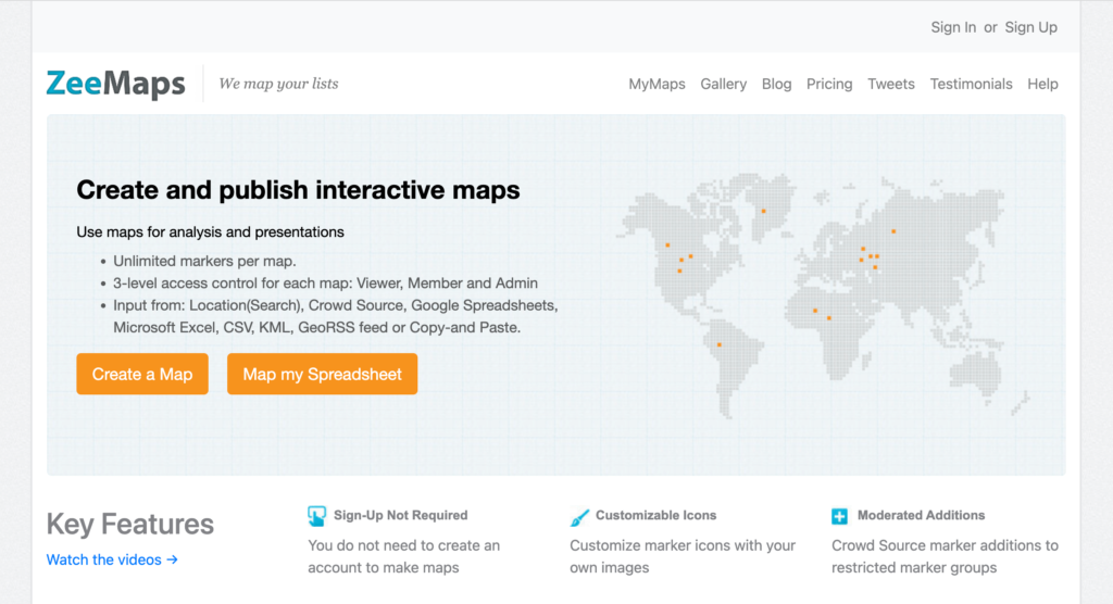
Use a series of inputs (including Google Sheets, Excel, CSV files, etc.) to turn static business data into territory maps for your sales reps via ZeeMaps. You can include an unlimited amount of markers per map, and you can provide three different levels of access control: admin, member, and viewer.
ZeeMaps is a collaborative mapping platform designed for flexibility, offering:
This is another sales territory tool that is perfect for organizations just starting out and operating with limited budgets. ZeeMaps is free, and you don’t even have to create an account to start building a territory map.
If you want your sales reps to thrive in the modern market, sales mapping software is a must-have. Integrating your customer data with detailed maps, these solutions give you the precise information you need to create sharply optimized territories, spot high-potential opportunities, and elevate your revenue generation far above your expectations—and competition.
There’s no one-size-fits-all solution, and each business has different priorities—whether it’s route planning, territory balancing, or deeper data visualization. But if you’re looking for a well-rounded platform that checks every box, Maptive stands out as the best overall sales mapping software in 2025.
Maptive combines power with simplicity. It’s packed with the features growing sales teams need, yet flexible and intuitive enough for anyone to use — from field reps to sales managers to operations leads. With Maptive, you can:
Whether you’re looking to grow your market share, improve team productivity, or uncover untapped opportunities, Maptive gives you the tools to get there.
Try Maptive for free and see how smarter sales mapping can transform your results.
Brad Crisp is the CEO at Maptive.com, based in Denver, CO and born in San Francisco, CA. He has extensive experience in Business Mapping, GIS, Data Visualization, Mapping Data Analytics and all forms of software development. His career includes Software Development and Venture Capital dating back to 1998 at businesses like Maptive, GlobalMojo (now Giving Assistant), KPG Ventures, Loopnet, NextCard, and Banking.