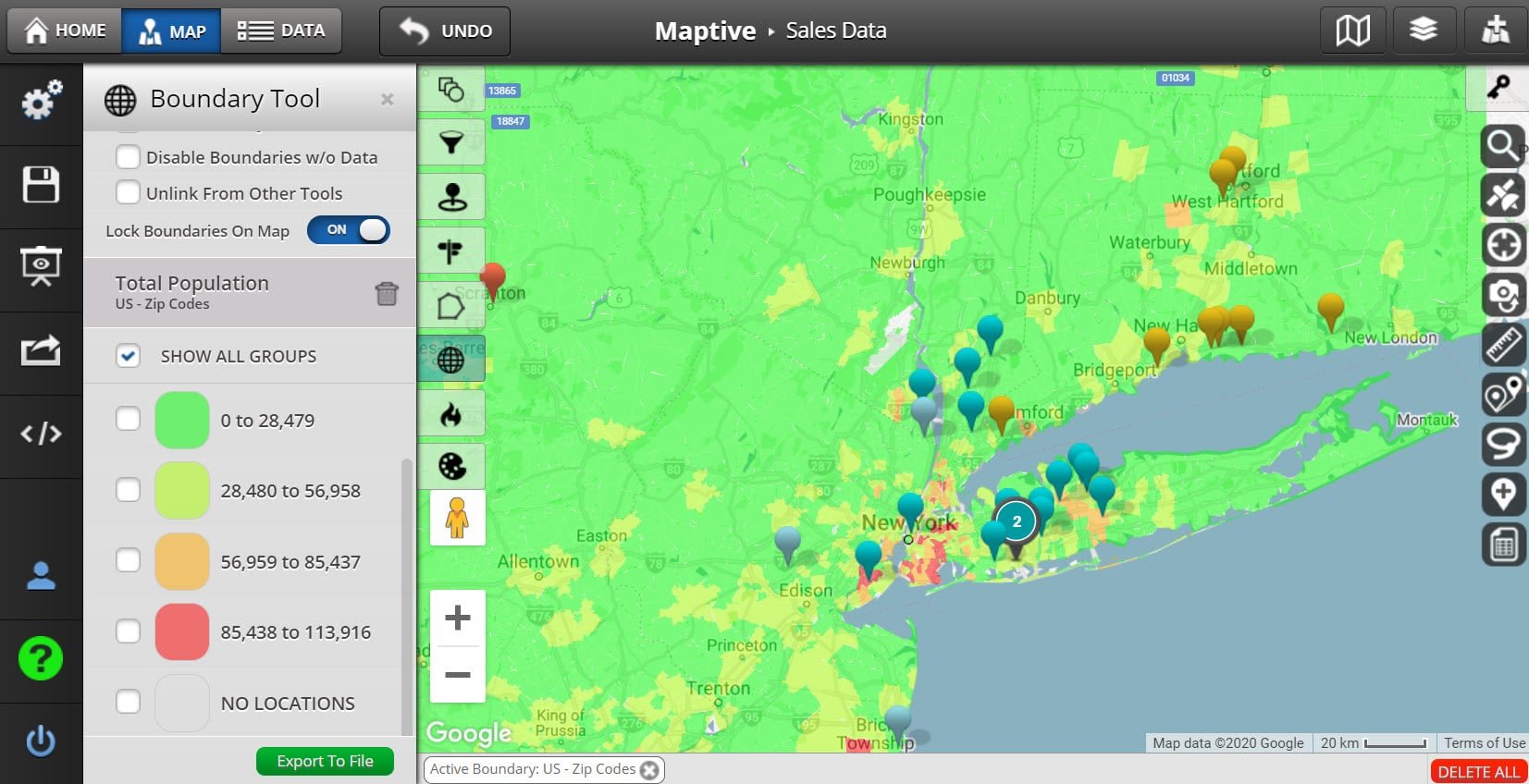
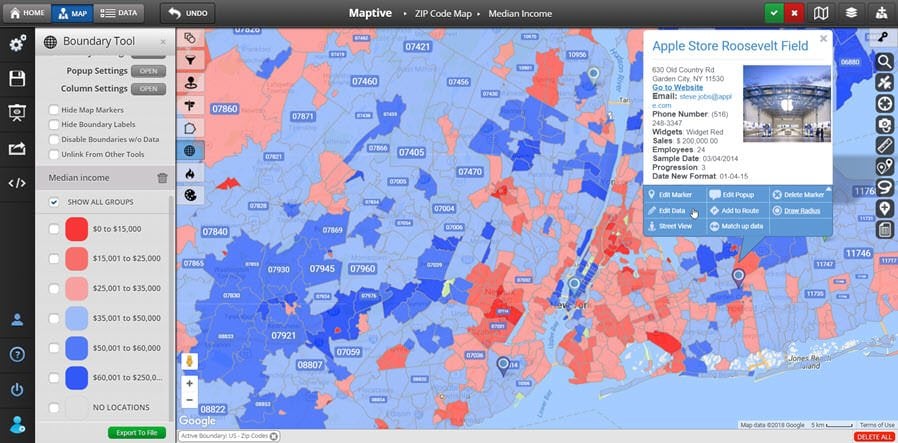
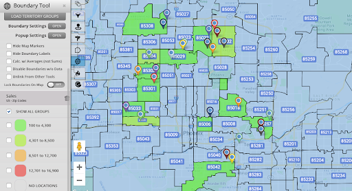
Dividing maps up based on established geographic boundaries is a great way to create sales territories and analyze demographic information. US zip codes are a popular boundary to use, but what if you want something larger than the standard five-digit code?
Three-digit zip codes divide your map into bigger territories. Use these boundaries to analyze larger areas at a time and take a higher-level look at your map.
Types of Zip Codes
There are actually four different types of zip codes used by the United States Postal Service to make sure our mail is delivered to the right location:
- Unique Zip Codes: Some addresses that receive a large amount of mail are given their own unique zip code.
- P.O. Box Zip Codes: P.O. boxes are also given their own zip codes.
- Military Zip Codes: These are used for any mail or deliveries being sent to the U.S. military.
- Standard Zip Codes: Any address that doesn’t fall into one of the above categories is given a standard zip code. This is what most homes and businesses use.
What Are 3 Digit Zip Codes?

A three-digit zip code is simply the first three numbers in a zip code. Each zip code is divided up into three parts:
- National Area: The United States is divided up into ten groups of states called national areas. The first digit of a zip code indicates which one of those groups an address is located in.
- Regional Area: The ten national areas are divided up into smaller geographic regions (usually ten per state), determined by the next two digits. Each of these areas has a sectional center facility that sorts and distributes mail.
- Delivery Area: Every regional area is divided up further into several delivery areas, indicated by the last two digits of a zip code. This is the area that the mail is actually being delivered to.
So, a three-digit zip code represents a regional area and is made up of several smaller five-digit zip codes.
Why Use 3 Digit Zip Codes Instead of 5 Digit Zip Codes?
Standard zip codes are a useful geographic boundary, but they are rather small compared to other boundaries. If you’re looking to divide cities into multiple areas you’ll find that three-digit zip codes are usually the ideal size.
Use three-digit zip codes to:
- Establish Sales Territories: Combine zip codes into several larger areas to use as sales territories for your team.
- Create Distribution Areas: Do you work in transportation or logistics? Use three-digit zip codes to establish distribution centers throughout a city.
- Analyze the Demographics of a Larger Geographic Area: Simplify your demographic research by increasing the size of the areas you’re analyzing. Instead of reviewing data for 30 – 40 zip codes, you’ll now only be analyzing the data for 6 – 8 codes.
How to Map Zip Codes with Maptive

Use Maptive’s boundary tool to easily map five-digit zip codes on your interactive map:
- Click the tools icon in the top lefthand corner of the screen.
- Select the “Boundary / Geographic Territory Tool.
- Under “Select Boundary Type” choose “US – Zip Codes.”
- Click “Add Boundary.”
While Maptive doesn’t have the ability to automatically map three-digit zip codes, use the Territory Drawing Tool to draw them in manually:
- Follow the instructions above to map the five-digit zip codes first.
- Click the tools icon in the top left hand corner of the screen.
- Select the “Territory Drawing Tool.”
- Under “Select Task” choose “Create New Territory Group.”
- Give your territory group a name.
- Click “Add Territory Group.”
- Select the data that you would like to appear in your territory popup, then click “Done.”
- Click “Draw Territory.”
- Choose a name and colors for your territory, then click “Start Drawing.”
- Move your cursor to where you want to create your territory. Click on the map to create the points of your polygon, then click on the first point to complete it. Use the five-digit zip codes, and the three-digit zip code maps found here, as a guide when creating your territories.
Ready to Start Mapping Zip Codes?
Want to start mapping five and three-digit zip codes for sales territories, distribution areas, and more? Sign up for a Maptive free trial account and create your interactive map today.
Fred Metterhausen is a Chicago based computer programmer, and product owner of the current version of Maptive. He has over 15 years of experience developing mapping applications as a freelance developer, including 12 with Maptive. He has seen how thousands of companies have used mapping to optimize various aspects of their workflow.


