Calculate the Distance Between Two or More Addresses, Cities, Zip Codes or Points on a Map Quickly and Easily.
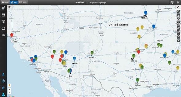

Use Maptive’s mapping software to calculate the distance between two or more locations or points on a map! Read on to learn more about how to use Maptive’s distance calculator tool.
Quickly determining the distance between multiple points on a map can provide important insights for businesses.
Maptive’s distance calculator makes it easy to calculate the distance between two or more addresses. This, along with our many other mapping tools, provides you with the information you need to run your business effectively.
Calculate straight-line distances between two or more addresses, cities, or zip codes in a few simple steps with Maptive
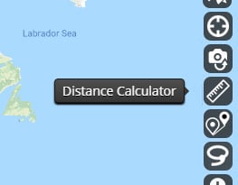
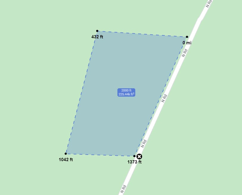
A distance calculator measures the straight line distance between various points on a map. This is different from a driving distance or travel time calculation. Calculate the distance between physical addresses, major cities, or any other point you select on the map.
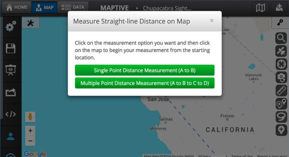
Maptive’s distance calculator gives you the option to measure the distance between two addresses or the continuous distance between multiple points.
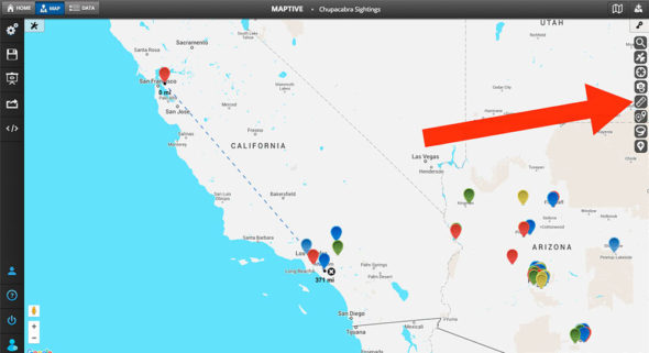
Maptive’s Distance calculator is easy to use. Calculate the distance between multiple points in just a few moments by following the steps below:
Use the individual distance calculator to determine the distance between two addresses.
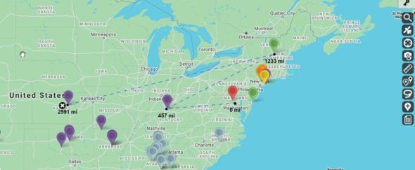
Use the continuous distance tool to determine the distance between more than two addresses.
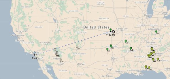
Pin Maps: Measure the distance between various data points on your map.
Territory Drawing Tool: Create custom territories on your map and calculate the distance between them.
Boundary Tool: Establish boundaries based on zip codes, districts, cities, states, and more and determine the distance between them.
If you need to calculate driving distance rather than straight-line distance, you can use Maptive’s Route Planner to get optimized driving directions between multiple locations.