
Aerial mapping is a sophisticated geospatial technology that involves the acquisition of high-resolution imagery and geospatial data from an aerial perspective.
Unlike traditional mapping methods, which rely on ground-level surveys, aerial mapping employs airplanes, drones, or satellites to capture detailed and comprehensive images that are then processed together and used to create accurate maps of the Earth’s surface.
The detailed information captured through aerial mapping offers insights that may be challenging to observe from ground-level perspectives. This high vantage point allows for a more detailed analysis, empowering professionals in areas such as urban planning, agriculture, environmental monitoring, and infrastructure development.
Aerial Mapping vs. Satellite Maps
Aerial mapping and satellite maps, while serving similar purposes, differ in their approach.
- Aerial mapping operates from relatively lower altitudes, capturing aerial photographs from aircrafts or drones flying at lower altitudes. This type of aerial photography produces high-resolution data that is both tailored and, if needed, real-time.
- Satellite maps, on the other hand, rely on orbiting satellites to provide a broader view from space, and while the images captured this way can cover large areas, they also often compromise on resolution.
Advantages and Limitations of Aerial Mapping
The high resolution of aerial imagery allows for detailed and accurate mapping, making it particularly effective in creating a bird’s eye view of urban or complex terrains. The flexibility in flight paths and real-time data collection also sets aerial images apart. However, aerial photographs have limitations related to the coverage constraints of any airborne platform and their susceptibility to weather conditions.
Real-World Applications of Aerial Mapping
- In urban planning, aerial photography provides crucial insights for infrastructure development and land-use analysis.
- In agriculture, farmers leverage aerial maps for monitoring crop health and optimizing farming practices, and to measure distances.
- The environmental sector benefits from aerial imagery and vertical photographs in assessing deforestation, habitat changes, and overall ecosystem health.
- Aerial maps play a vital role in infrastructure management and support disaster response and recovery efforts through aerial surveys.
Technology Behind Aerial Mapping
Unmanned Aerial Vehicles (UAVs) and Their Role
Unmanned Aerial Vehicles, commonly known as UAVs or drones, navigate the skies, equipped with specialized sensors and cameras for aerial photograph. UAVs offer the advantage of flexible flight paths, allowing targeted data collection in areas that might be challenging to access for aerial survey otherwise.
High-resolution Digital Cameras and Sensors
At the heart of aerial mapping lies the capability to capture intricate details with high-resolution cameras and sensors. These components enable the acquisition of sharp, detailed aerial imagery in a vertical position. The sensors go beyond visual data sets, incorporating near infrared and multispectral capabilities for diverse applications and various industries, including vegetation health analysis and geological surveys.
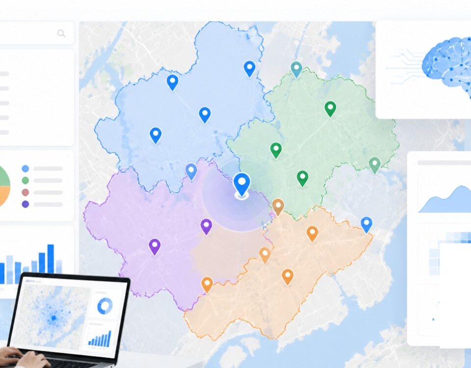
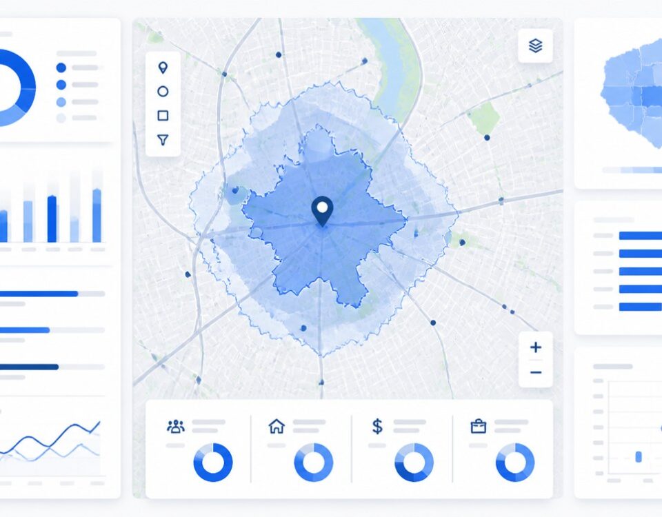
GIS Integration
Geographic Information Systems (GIS) technology integrates spatial data, enabling the organization, analysis, and interpretation of the captured ground information. Through GIS, aerial maps become dynamic tools, facilitating measurements quality and decision-making processes in urban planning, environmental management, and many other fields.
Emerging Technologies Shaping the Future of Aerial Mapping
3D Mapping and Modeling
The incorporation of 3D mapping and modeling techniques in aerial imagery provides a three-dimensional perspective of landscapes and structures, offering a more immersive and comprehensive understanding of geographic features regardless of the Sun angle.
Machine Learning and AI Applications
Machine Learning and Artificial Intelligence have introduced automation and predictive analytics to aerial maps’ imagery. These technologies enhance data processing capabilities, allowing for the rapid identification of patterns, object recognition, and even automated map creation.
Future Trends and Innovations in Aerial Mapping Technology
Looking ahead, aerial mapping promises continuous innovation. Future trends include advancements in sensor technologies, increased autonomy in UAVs, and the integration of real-time data analytics. These innovations aim to further refine the accuracy, speed, and versatility of aerial mapping, ensuring its continued relevance in an ever-evolving technological landscape.
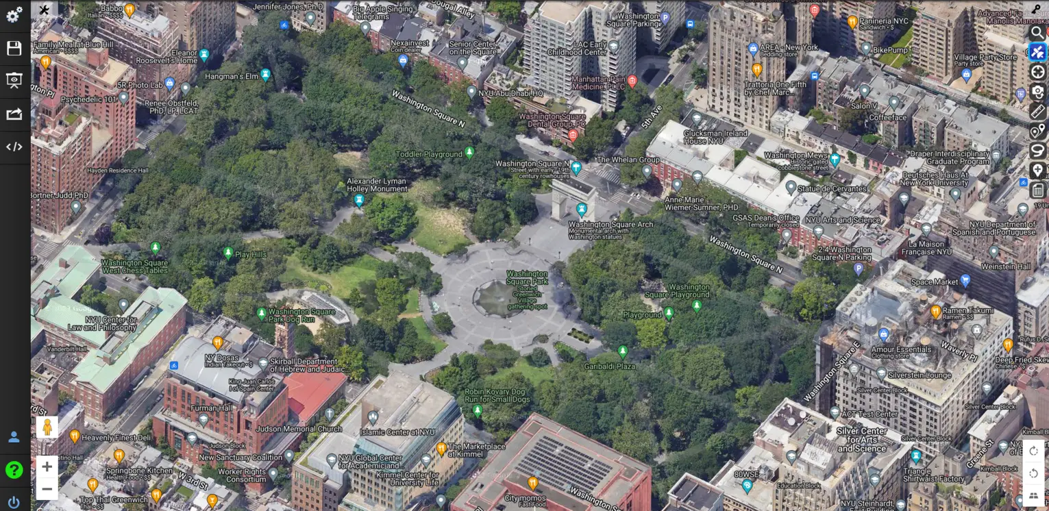
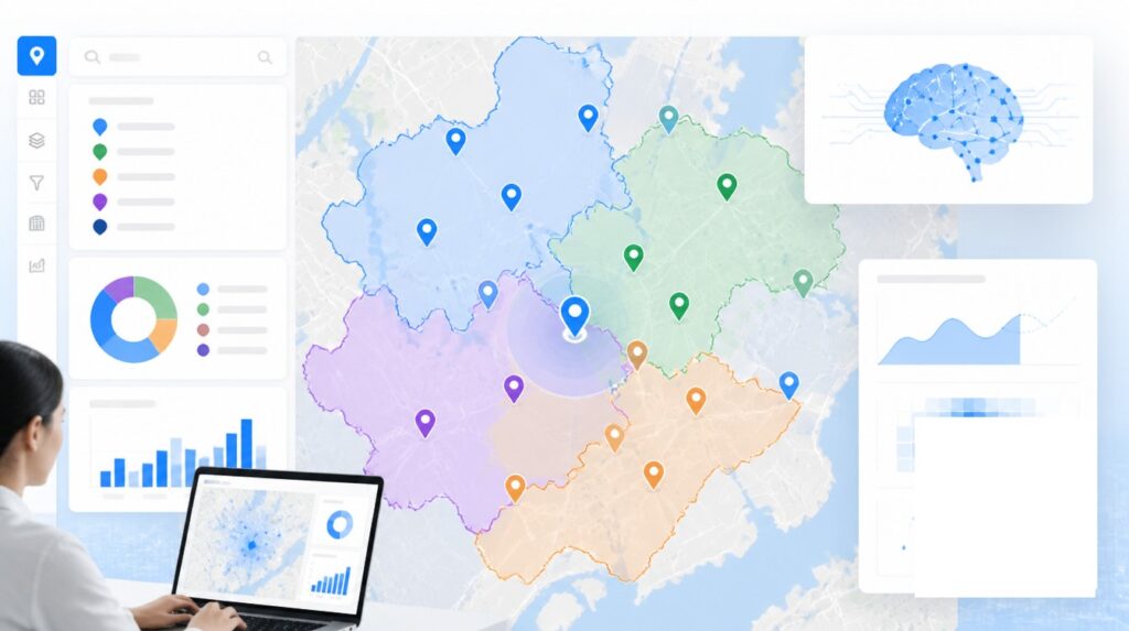
How Maptive Excels in Aerial Mapping
Maptive is a powerful mapping software with a suite of comprehensive features and a user-friendly interface. With Maptive, users access aerial mapping tools designed to streamline the mapping process and provide detailed insights.
From high-resolution imagery to advanced GIS integration, Maptive offers an array of features to cater to diverse mapping needs. Additionally, Maptive’s intuitive interface and customization options empower users to create tailored maps effortlessly, ensuring a seamless and personalized mapping experience.
Conclusion
Aerial mapping’s ability to provide detailed, real-time data from an elevated perspective proves indispensable in fields such as urban planning, agriculture, and disaster response.
Maptive stands out as a comprehensive mapping solution, seamlessly integrating cutting-edge technology and user-friendly features. Maptive’s prowess in delivering high-resolution imagery, advanced GIS integration, and intuitive customization options positions it as a go-to platform for mapping needs.


