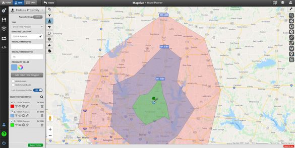
Quickly determine the travel time between two locations or see how far you can commute in a certain time frame using a travel time calculator. Travel time calculators allow you to generate isochrones representing the area you can cover in a certain period of time using public transit, bike, walking, or driving. Travel time and commute time maps are useful for a wide range of use cases from personal use like choosing a house location that is no more than 20 minutes from your work to business use cases like choosing a new office location close to all of your employees as possible.
Table of Contents
A commute time map, or travel time map, allows you to see the time it will take you to commute between a starting point and the locations that you can reach in a certain period of time from that starting point. Instead of measuring distance, a travel time map measures commute time.
Calculating commute time depends on several factors, including distance, traffic conditions, transport mode, and transit information. Commute maps factor all this in to give you accurate estimates of your travel time. This means estimates are calculated in real-time and might fluctuate from one time of day to another.
Use a commute time calculator to determine the average commute time from one location to another or draw a travel time radius around one location to see all the other reachable locations within a given time limit.
These calculations are available for driving and various forms of public transport, such as buses and trains.
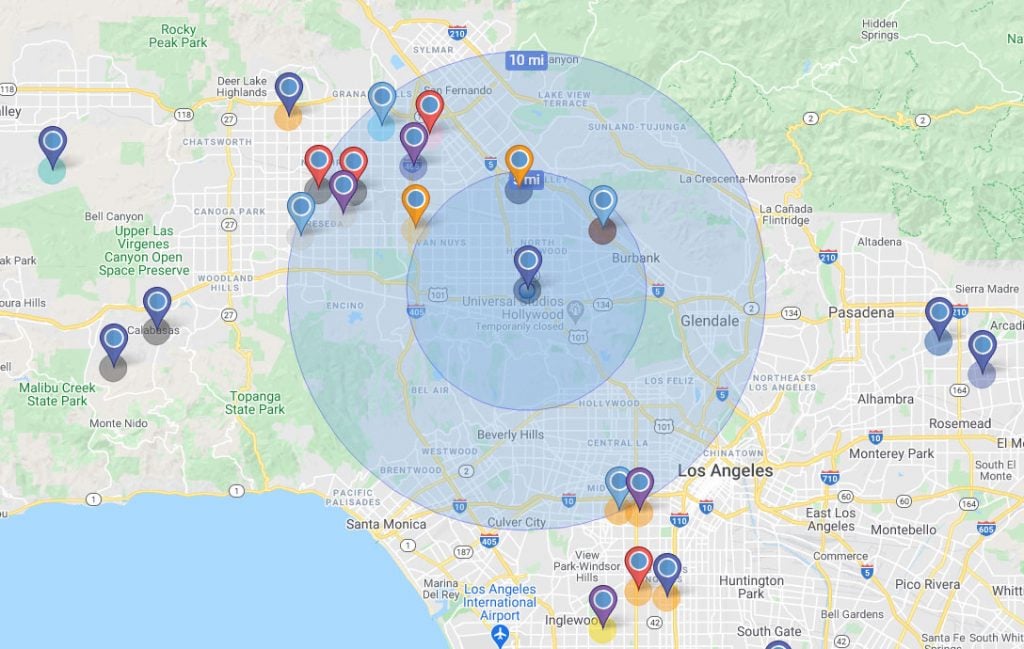
Many companies use travel time maps to optimize their business and better serve their customers:
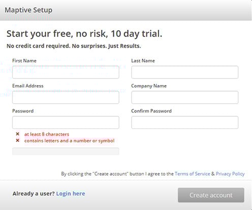
Step 1: Sign up for a Maptive free trial account. Try Maptive for free and explore the many mapping tools we have to offer.
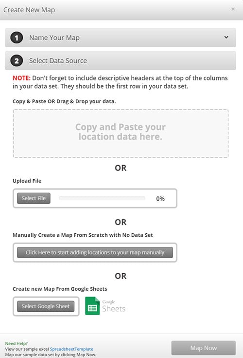
Step 2: Upload or input your data. Upload your location data from an existing Excel spreadsheet, copy and paste your data into Maptive, or enter it manually.
Step 3: Click on “Map Now” to view your map. Your location data is now plotted on a beautiful interactive map.
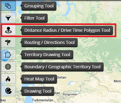
Step 4: Choose the Distance Radius/Drivetime Polygon Tool. Select this feature from Maptive’s tools menu.
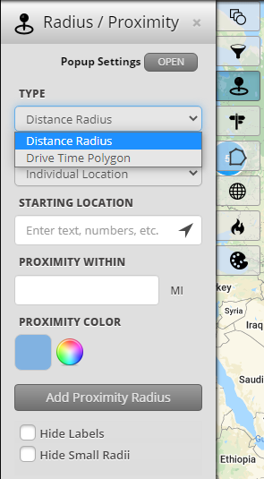
Step 5: Select “Drive Time Polygon” from the dropdown menu. Enter your trip details. This includes your start location & travel time in hours or minutes.
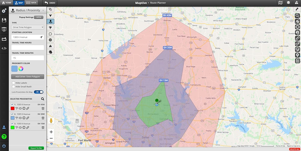
Step 6: Get your commute time. Your commute time map will be automatically calculated based on your trip details.
Fred Metterhausen is a Chicago based computer programmer, and product owner of the current version of Maptive. He has over 15 years of experience developing mapping applications as a freelance developer, including 12 with Maptive. He has seen how thousands of companies have used mapping to optimize various aspects of their workflow.
