Create a Map from Excel Data
Mapping location data manually takes time and effort. Map addresses from Microsoft Excel spreadsheets into beautiful, personalized interactive Google maps without breaking a sweat. Let’s break down how it works.
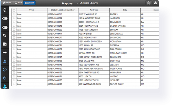
Map Excel Data to Create an Interactive Map
A lot of mapping tools are cumbersome, complicated, or expensive to use. Our elegant Excel mapping software makes data visualization simple and fast for everyone. Upload a list of addresses in spreadsheet format and create a map within minutes. Plot addresses on a Google map by uploading your excel file.
Follow the steps below to get started with Maptive. Once complete, each spreadsheet column will be represented by a marker on the map, making it easy to start analyzing and discovering new opportunities buried in your data.
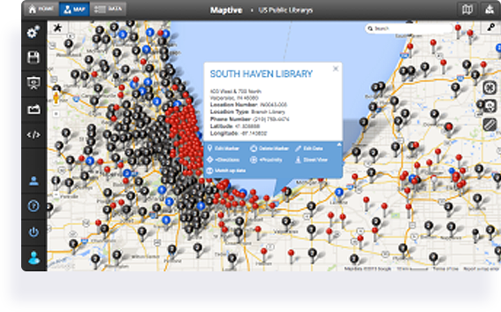
4 Steps to Create a Map from Excel Data:
Create a map using your Exel spreadsheet data in just a few steps:
Step 1: Sign up for the free trial of Maptive. (Remember when we told you how free it was? You don’t even need to give us your credit card details.)
Step 2: Click the “create your first map” button. Give it a name, click “Continue,” and you’re ready to start.
Step 3: Upload your Excel or Google Sheets spreadsheet into our platform. We’ll do the heavy lifting and generate an interactive, customizable Google Map for you within seconds.
Or choose one of these alternative methods to create your map:
- Use our API to connect your data directly to your map for real-time updates.
- Connect your Google Spreadsheet data to our platform. Any changes made on your Google Spreadsheet will automatically be reflected on your map.
- Start with a blank map and add your locations manually, one at a time.
Step 4: Select the columns in your spreadsheet that contain location data. We’ll automatically match most of them for you automatically so you can do this step in your sleep.
Congratulations! You now have an exquisite map awaiting your personal touch.
Once your initial map is created, use the many tools in our software to customize it and discover new opportunities hiding in your data.
Share your maps, embed them in a blog post, save them, or keep them to yourself — it’s up to you. You can be sure that using our powerful software will open up a new world of ways to analyze your data.
What Can Maptive’s Excel Maps Do?
Maptive provides hundreds of features that let you view your spreadsheet data in completely new ways. Below is just a sampling of what is possible. If you have a specific type of map you want, feel free to view all our features or ask us a question using the button at the bottom right-hand corner of the screen.
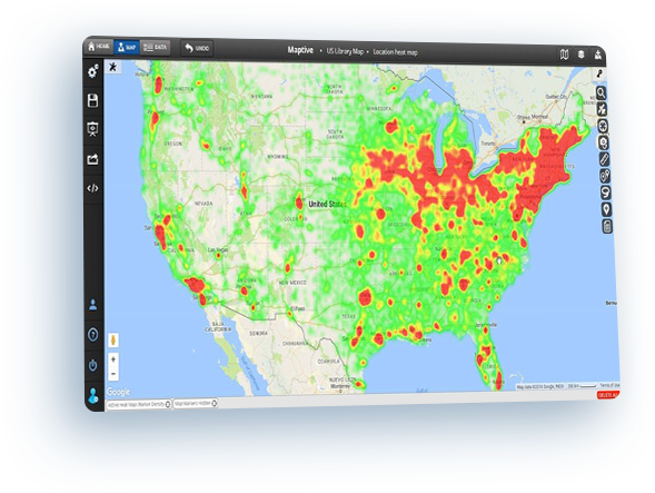
Heat Map Excel Data
Generate a heat map based on the geographic location of each row of data. Additionally, if you want to add weight to the locations in your spreadsheet, you can select a column such as sales or clients. The resulting heat map will be darker where there are more total sales and lighter where there are few or none.
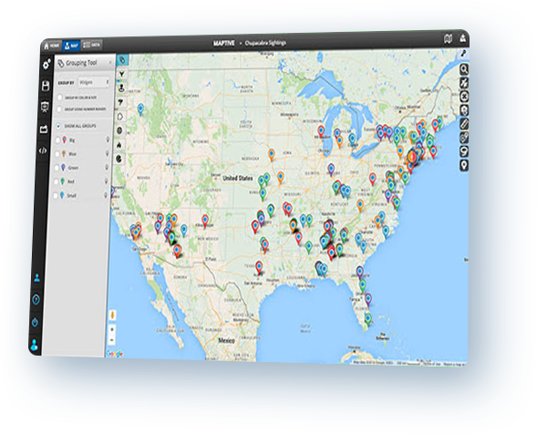
Group spreadsheet data on a map
Select a column in your Excel data and Maptive will automatically find all of the unique values in that column. Then we’ll place a colored marker on the map for each row in your spreadsheet. Each color in the map area will represent one of the unique values from the grouping column.
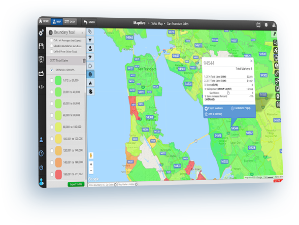
Map zip codes based on your data
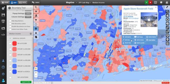
The boundary tool incorporates a US zip code map that displays the borders of the approximately 43,000 zip codes in the United States. In moments, you can combine your own data with the comprehensive information – including the latest census data – provided by Maptive. Plus, shade zip codes with different colors based on the data within them to quickly analyze your map. Also, postal codes for countries such as Canada, the UK, and Australia are available.
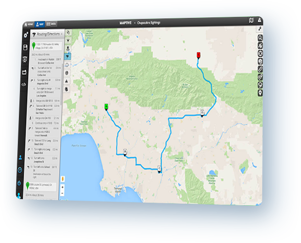
Plan multi-stop driving routes
Input your spreadsheet data into Maptive and, very quickly, you’ll be able to map street addresses from Excel. Maptive also creates an optimized route for you that will reduce your travel time and get you where you need to be quicker.
Start Your Free, No Risk, 10 Day Trial
No credit card required. No surprises. Just Results.
START MAPPING NOW