The Best Mapping Software for Residential Real Estate Agents
Find out how Maptive can help fill your real estate mapping needs.
The goal of any residential real estate agent is to make the best decisions on behalf of your client. Helping people find the perfect home in their ideal location means real estate agents have to be a discerning resource and advocate for their clients. In order to achieve this, you need access to the right data, presented in a way that both you and your clients can easily understand.
Many real estate professionals utilize spreadsheets and CRMs in order to store and organize their information, but these platforms often leave much to be desired. Deriving insights from these solutions is difficult and time-consuming, which is why many realtors are turning to mapping software, like Maptive.
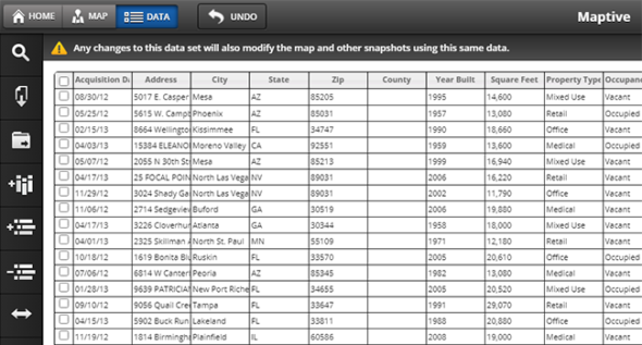
Upload or input your geographic data to efficiently plot it on an interactive map. Then customize the look and feel of your map with a variety of powerful tools, including demographic data, territory and drawing tools, and filters.
Use these and other features to build beautiful maps to help both your team and your clients find the types of residential properties they’re looking for.
What Are You And Your Clients Looking to Achieve?
|
Your Goals
|
Your Clients’ Goals
|
How Does Our Residential Real Estate Mapping Software Help You and Your Clients Reach Your Goals?
Maptive uses the power of Google Maps to take your dull and boring spreadsheets and transform them into beautiful interactive maps that both you and your clients will enjoy.
Pin Maps
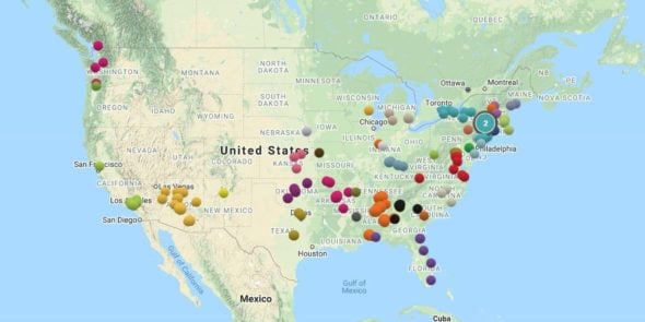
With so many properties listed at once, it’s difficult to keep track of all the homes available. Upload your listings to Maptive to instantly plot them and get a visual representation of every available property. Use this data to pinpoint homes that are available in the areas your clients are most interested in.
Filter Tool
Every buyer has a list of must-have criteria, along with a number of other features that would be nice to have. So, how do you narrow your search to only focus on the right properties?
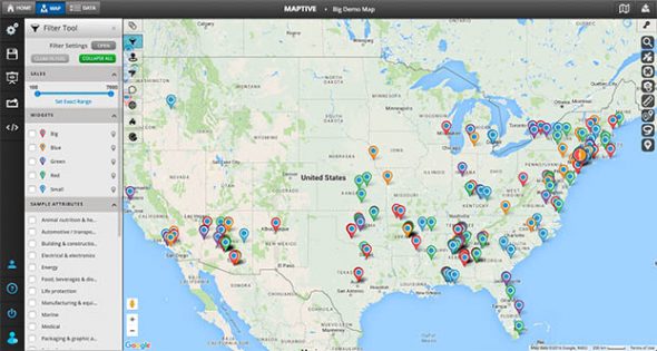
Use Maptive’s filter tool to remove homes that don’t meet your clients’ needs and reveal the ones with the best potential.
When entering properties into Maptive, include stats and features that can be filtered in and out of your map as needed. This can include additional data such as:
- Square footage
- Amenities and features
- Nearby schools and retail stores
- Crime statistics
- Sale price
Present your clients with an attractive map that only includes properties that meet their requirements so they can quickly identify all their options.
Territory and Demographics Tools
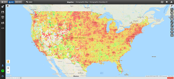
Use the territory tool to divide your map into different neighborhoods and residential areas. Once your territories are established, display demographic data such as housing, age, education, income, transportation, labor, gender, and more within your boundaries.
Present your findings to your clients to give them a snapshot of any area they’re thinking of purchasing a home in.
Drive Time Radii and Optimized Routes
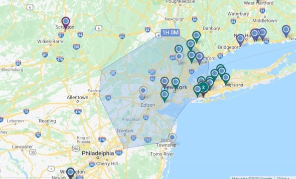
One of the biggest concerns prospective buyers have about a property is it’s proximity to their work and other key locations. How long will their commute be and how will they get there? Maptive gives you access to two tools to help you calculate this.
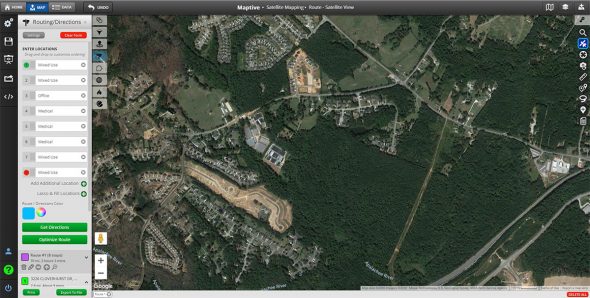
Use a drivetime radius to see what locations are reachable within a certain timeframe. Or use the optimized route feature to find the most efficient route to your clients’ workplace, gym, favorite store, and more.
The optimized route tool is also a valuable feature for real estate agents. Quickly find the best route between multiple locations on days when you have more than one showing to ensure you’re always where you need to be when you need to be there.
Start Your Free, No Risk, 10 Day Trial
No credit card required. No surprises. Just Results.
START MAPPING NOW